

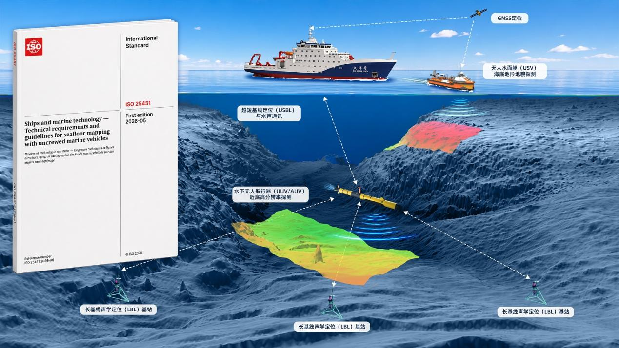
On May 11, the International Organization for Standardization (ISO) officially published ISO 25451:2026, Ships and marine technology — Technical requirements and guidelines for seafloor mapping with uncrewed marine vehicles. Led by the Second Institute of Oceanography, Ministry of Natural Resources (SIO, MNR), the standard is China’s first international standard in the field of seafloor topography and geomorphology surveying. It was published 18 months ahead of the original schedule after receiving unanimous approval among voting members at the Final Draft International Standard (FDIS) stage.
Centering on the full workflow of seafloor topography and geomorphology surveys using uncrewed marine vehicles, the standard systematically specifies technical requirements covering survey planning and preparation, navigation and positioning, platform and instrument inspection, survey implementation, seafloor survey data, and data processing and output. It also establishes requirements for measurement accuracy, mission-line planning, pre-launch testing, launch and recovery, and data cleaning and correction.
Led by Professor Wu Ziyin of the State Key Laboratory of Submarine Geoscience, the SIO team has long conducted research on key seafloor-survey technologies and the development of technical standards, helping establish a multi-level standards framework spanning international, national, industry, and association standards. The publication and implementation of ISO 25451 represents an important step from equipment-level innovation toward standardized autonomous seafloor-mapping practice. The standard is applicable to shallow-water and coastal mapping, reef surveys, submarine-pipeline route surveys, offshore engineering, emergency investigations, and deep-sea uncrewed surveys, and will support the generation of reliable and reusable seafloor-mapping products while strengthening the international influence of China’s seafloor-survey technologies.