
News
Series of Marine Geological Maps of China Sea was officially delivered and printed
Date:2020-07-22
Hits:3061
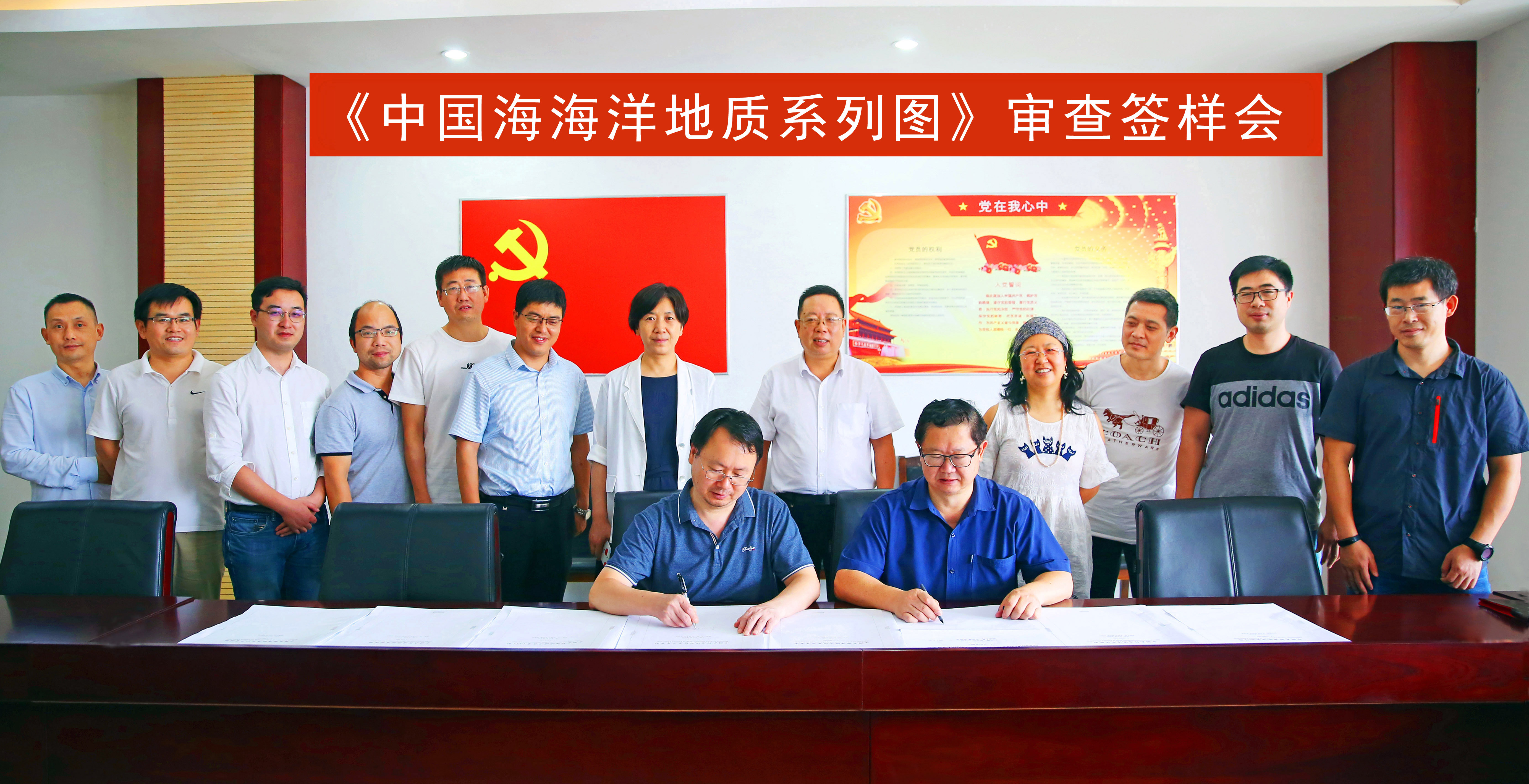
OnJuly 21, Series of Marine Geological Maps of China Sea, edited byProfessor Wu Ziyin, Director of the Submarine Science Laboratory of theMinistry of Natural Resources and Professor Wen Zhenhe from Qingdao Instituteof Marine Geology, was officially delivered and printed.
Thisset of maps systematically sortsout the survey and research work and results carried out in the China Sea sincethe founding of the People’s Republic of China, and basically understands thebackground of marine geology, topography and geophysical survey data in China,and adopts unified standards, technical methods and software platform toperform unified processing of multi-professional data of different projects,different ages, different equipment and different sources to achieve theunified accuracy standard, and then adopts advanced technical methods tointegrate and process multi-source data, and the new edition of Series ofMarine Geological Maps of China Sea with high accuracy and quality wascompiled.
The Series of Maps includes eight types ofmaps, including seabed topography, seabed landforms, sediment types, gravityanomalies, geomagnetic anomalies, seabed resources, and geological structures.Among them, the map sheets for the eastern seas of China include the Bohai Sea,Yellow Sea, East China Sea and parts of the Pacific Ocean in the east ofTaiwan; the scope of sea in South of China is the South China Sea, and thebasic scale of the Series of Maps is 1:3 million.
Thedelivery and printing of the Series of Maps not only realizes the updateof the marine geology basicmap system of the China Sea, but also provides reliable scientific andtechnological basic data for marine-related industries, which can provideimportant reference for the development of marine resources, the maintenance ofmarine rights and interests, the naming of the seabed, and the marineenvironment conservation and marine scientific research.

