
News
The PI-ReSOC independently developed by the SIO was officially launched
Date:2023-09-18
Hits:1942
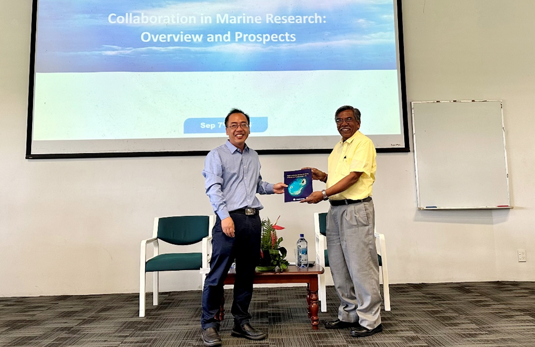

In September, the “Remote Sensing Analysis Service System for Offshore and Coastal Zones of Pacific Island Countries (PI-ReSOC)” developed by the research team of the SIO led by Zhang Huaguo was officially launched, providing Pacific island countries with free monitoring results of marine and coastal environmental changes based on remote sensing images. The team members recently went to multiple countries for system training and officially submitted marine and coastal zone remote sensing monitoring reports to five countries including Fiji.
The PI-ReSOC is one of the important achievements of the “Monitoring and Capacity Building of Typical Elements of Marine and Coastal Ecological Environment of Pacific Island Countries” project. Based on China’s abundant independent satellite earth observation resources, the project team has developed key technologies for remote sensing monitoring of ecological environments such as oceans, coastal zones, reefs and benthos to produce corresponding element datasets. The service scope covers 21 Pacific island countries and regions. Currently, the full-coverage images of Pacific islands have been launched, including more than 10 data such as sea surface temperature, salinity, partial pressure of carbon dioxide, chlorophyll concentration, island impervious surface, vegetation index, as well as marine disaster emergency monitoring reports and remote sensing monitoring country reports. These data and reports can provide support for Pacific island countries in addressing global climate change, marine ecological environment changes, disaster prevention and mitigation, and other aspects.
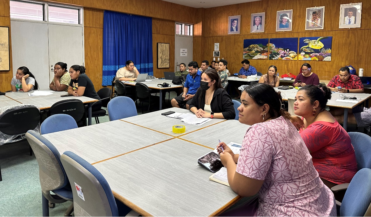
After the system was launched, team members went to such countries as Samoa and Fiji to hold seminars and training courses on marine and coastal zone remote sensing technology and application, and conduct on-site explanations and computer operation training courses. Nearly 100 trainees from national functional departments, higher education institutions, research institutes and international organizations in countries such as Samoa, Fiji, Kiribati and Solomon Islands participated in the training and mastered the basic skills of using the system for data download and analysis. Researchers of the SIO also gave special reports on topics such as satellite capacity building in China, remote sensing emergency monitoring of marine disasters, remote sensing monitoring of marine ecological environment, remote sensing monitoring of underwater ecological environment of islands and reefs, exchanged and discussed with trainees.
During the exchange, researchers of the SIO submitted country reports on remote sensing monitoring of the oceans and coastal zones in Samoa, Fiji, Vanuatu, Tonga and French Polynesia. These reports utilized over 20 years of ocean and land satellite observation data at home and abroad to analyze the coastal changes, coral reef bleaching, marine ecological environment and other conditions of Pacific island countries under the influence of global climate change. As a result of international cooperation, they can help these countries build their capacity to cope with global climate change and early warning capacity of coral reef bleaching.

