

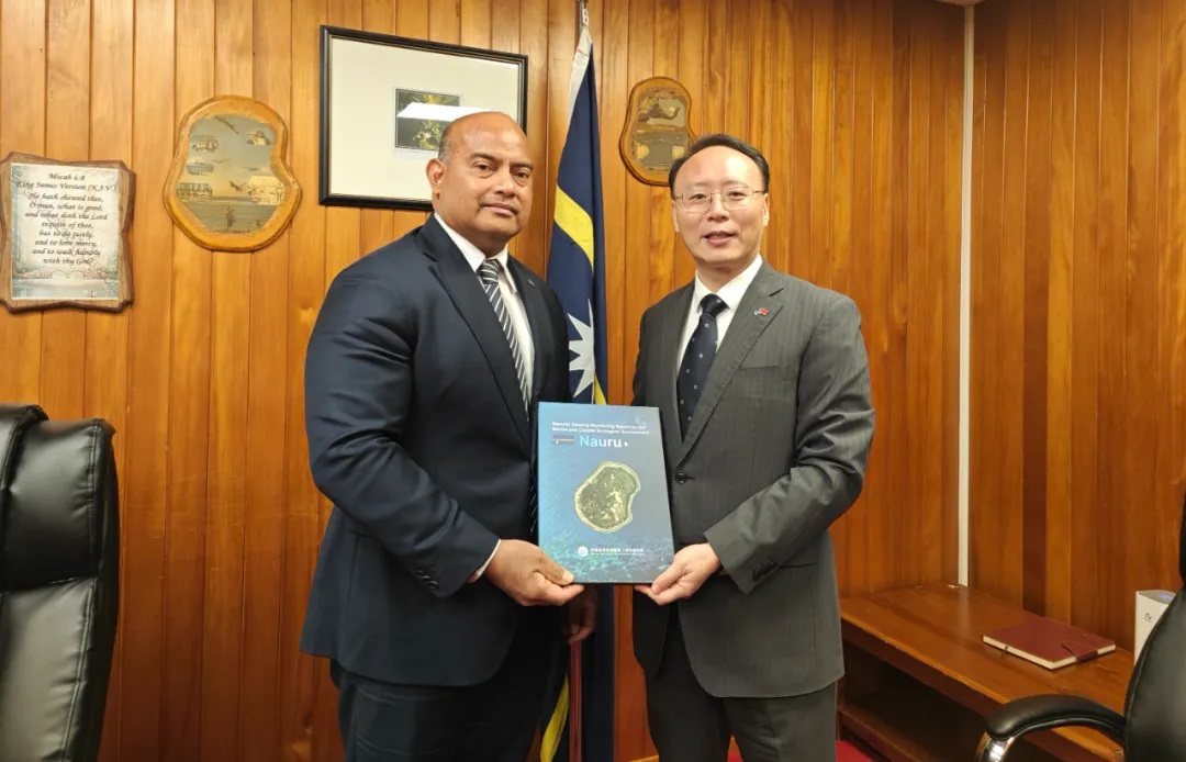
On May 14, Nauru’s President David Adeang met with Chinese Ambassador to Nauru Lv Jin. Ambassador Lv presented President Adeang with the Nauru Satellite Remote Sensing Monitoring Report compiled by the SIO.
Nauru consists of a coral island and its surrounding waters. The land area of the island is approximately 21 square kilometers, and it has a marine exclusive economic zone of 320,000 square kilometers. In the report, by utilizing over two decades of accumulated marine and land satellite observation data from both domestic and international sources, the spatiotemporal evolution characteristics of Nauru’s coastal changes, island development and utilization, shallow coral reef benthic ecosystems, and marine ecological environment under the influence of climate change and human activities are systematically analyzed. It provides data support for Nauru’s marine management and policy formulation in response to global climate change, marine ecological environment changes, disaster prevention and mitigation and other related issues.
The Remote Sensing Monitoring Country-Specific Report was compiled by the research team led by Researcher Zhang Huaguo from the State Key Laboratory of Satellite Ocean Environment Dynamics of the SIO. It is one of the important outcomes of the National Key Research and Development Program project titled “Monitoring and Capacity Building for Typical Elements of Marine and Coastal Ecological Environments in Pacific Island Countries”. To date, the reports for 12 Pacific island countries, including Papua New Guinea, the Federated States of Micronesia, and the Solomon Islands, have been completed. These reports provide in-depth insights into special topics such as coastal changes, urban expansion, coral reef and mangrove evolution, marine ecological environment changes and marine disaster risks through a combination of text and images, offering data support for countries to carry out marine resource management and spatial planning and formulate management measures.